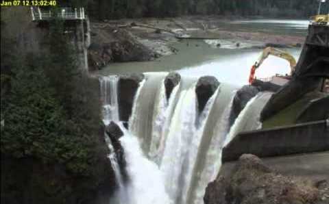
The Dam That Beat Them All Was Nine Feet Tall
In 2024, removing the Rockford Dam on Indiana's East Fork White River reconnected 2,622 miles of upstream river — the single largest reconnection recorded anywhere in the American Rivers Dam Removal Database, a database of 2,325 removed dams going back to 1912. The dam that did it was 9 feet tall and 450 feet long.
Top 10 single largest upstream reconnections nationally. Bar length = miles reconnected; label and color = dam height. Source: analyst.json ana_21.
Indiana's removals, just 18 of them with reconnection data on record, account for 6,664 of the nation's 18,505 documented upstream miles — 36% of the total — and none of the dams responsible are tall. Five modest structures, none reaching 15 feet, did more for river connectivity than almost the rest of the country combined.
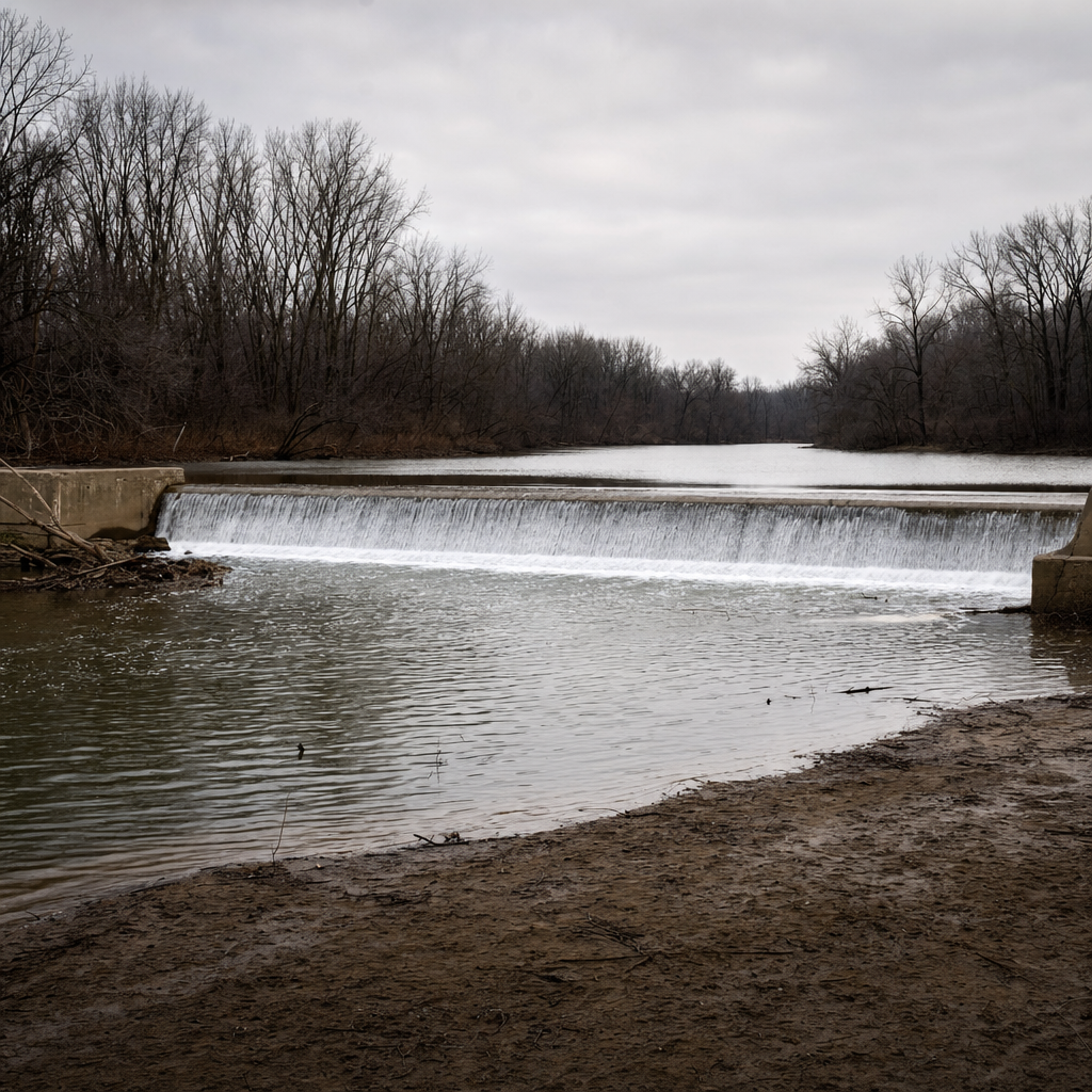
Compare that to the two most famous dam removals in U.S. history. The 2011–2014 removal of the 108-foot Elwha Dam and 210-foot Glines Canyon Dam — the tallest dam ever removed in the United States — reconnected 70 miles of the Elwha River. The 2024 Klamath River removal, the largest dam-removal project in world history by reconnected mileage, took out four dams no taller than 188 feet and opened roughly 420 miles. Both are extraordinary restoration projects. Neither comes close to what one 9-foot dam in Indiana did on paper.
The question this data forces is simple: if the tallest, most technically dramatic dam removals aren't the ones moving the mileage needle, what is a dam's size actually telling us?
A Movement That Has Quietly Become Routine
American Rivers has tracked dam removals since 1912, and the organization is explicit about the goal: retire 30,000 of the estimated two million-plus dams and barriers on U.S. rivers by 2050. For most of the 20th century the U.S. led the world in building dams; for the last three decades it has been quietly leading the world in taking them apart.
Dams removed per year, 1990–2025. Source: analyst.json ana_17.
The pace shows it. Annual removals climbed from roughly 15–30 a year through the 1990s to over 100 a year by the late 2010s. This database snapshot puts 2024 as the new high-water mark, with 111 dams removed — edging out 2019's 108 and the previously reported 2018 record of 107–109. Eighty-five percent of every dated removal in the database happened in 2000 or later.
All told, this analysis draws on 2,325 removed-dam records spanning 56 states and territories, a database revised and expanded every year as new projects are documented.
What Counts As "Big" Among Removed Dams
The dams in this database are, almost without exception, small. The median height is 10 feet; the median length is 120 feet. Only 0.6% of dams with recorded height — 10 out of 1,766 — top 100 feet. The tallest, at 210 feet, is the exception that gets the headlines, not the norm the database is built from.
Dam height (ft)
Dam length (ft)
Distribution of dam height and length among removed dams. Dashed lines mark the medians (10 ft / 120 ft). Source: analyst.json ana_03, ana_04.
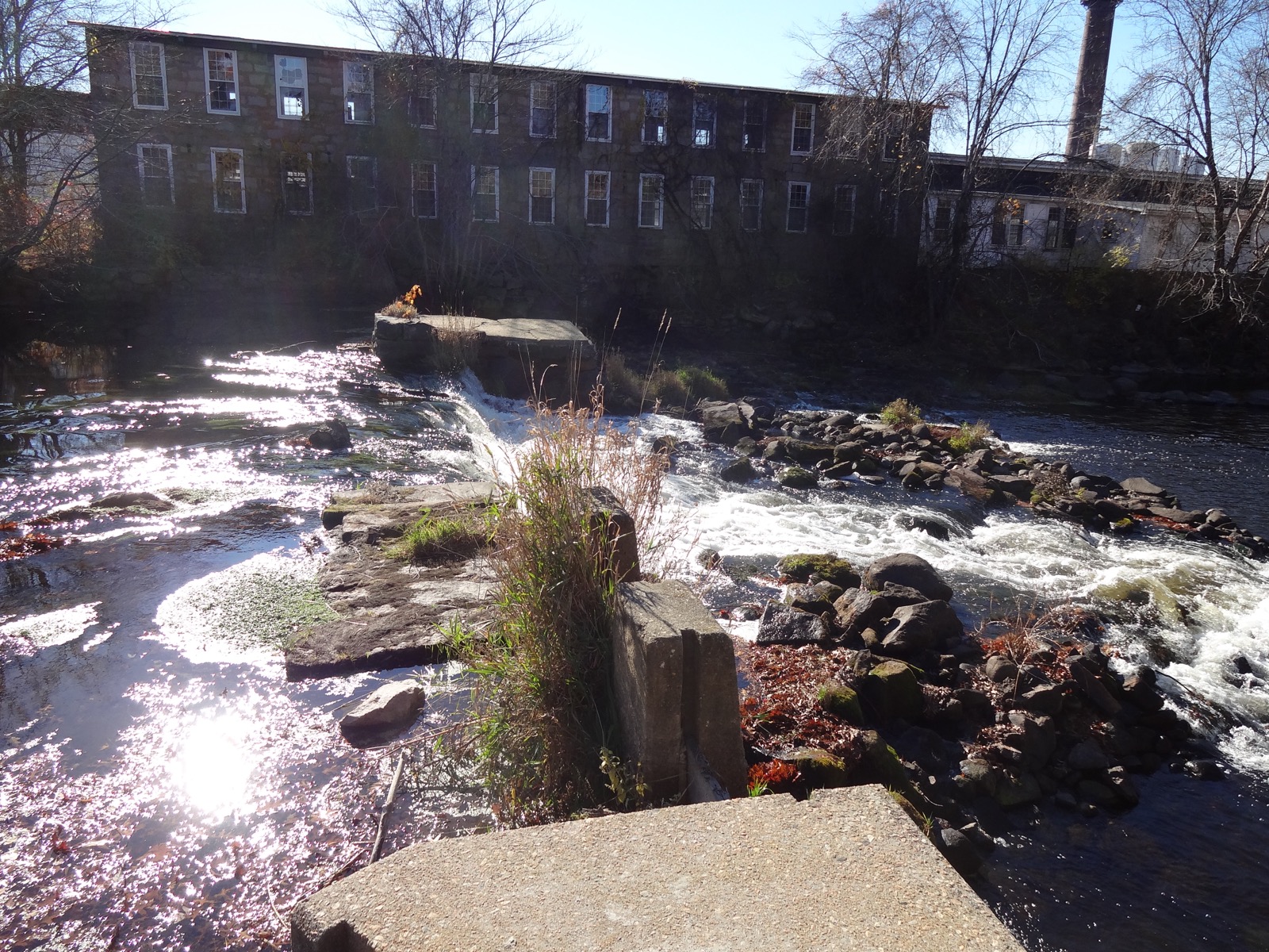
That tracks with what's known about the roughly two million dams and barriers scattered across U.S. rivers: the overwhelming majority are small, low-head structures built for mills, farm ponds, or local flood control, many now functionally obsolete. The database is a record of retiring that legacy piece by piece, not tearing down monuments.
Original purpose does shape size in predictable ways — dams built for hydropower run significantly taller (median 16 feet) than dams built to power a millstone (median 10 feet, p < 0.001) — but that's a story about why a dam was built, not about what its removal accomplishes downstream.
The outcome side of the story looks nothing like the input side. Among removals with documented upstream reconnection, the median is a modest 4.35 miles — but the top 10% of removals account for 80.8% of every mile reconnected nationwide. Reconnection, unlike dam size, is a story of a few outliers doing almost all the work.
The Test — And The Null Result
Here is the test at the center of this analysis: among 420 removals with both a recorded height and documented upstream reconnection, dam height shows no detectable relationship with how many miles get reconnected. The Spearman correlation is 0.047 — statistically indistinguishable from zero (p = 0.34), with a 95% confidence interval of [-0.05, 0.15] that straddles zero cleanly. This is not a case of "not enough data to tell" — with 420 dams, the interval is narrow enough to rule out anything beyond a weak positive relationship, and it isn't there.
Spearman correlation (rho) between each dam dimension and upstream miles reconnected, with 95% bootstrap confidence intervals. Height n=420; length n=404. Source: analyst.json ana_12.
Dam length fares slightly better, but only slightly: among 404 removals, length shows a weak positive association with upstream miles (rho = 0.129, p = 0.0092), and it survives correction for testing two hypotheses at once (Holm-corrected p = 0.018). It's real. It's also small.
How small? Squaring the correlation converts it to variance explained: dam length accounts for 1.67% of the rank-order variation in upstream reconnection. Height accounts for 0.22%. Put together, the two physical dimensions of a dam — the numbers an engineer would put on a spec sheet — explain well under 2% of why one removal reconnects more river than another.
River scientists have a name for the other 98%: network position. What matters is what lies upstream of the dam — how long and unobstructed the river above it runs — and what else, upstream or downstream, still blocks fish and sediment from moving. A structurally massive dam sitting just below another impassable barrier reconnects nothing past that barrier. A small dam at the base of a long, otherwise-open watershed can reconnect a great deal.
Why The Story Isn't Even That Height Matters "A Little"
Height and length are not independent measurements — across 1,337 dams with both recorded, they correlate strongly (rho = 0.59, p < 10⁻¹²⁵). Taller dams are reliably longer dams. That matters, because it means height's weak apparent association with reconnection could just be borrowed from length.
Marginal vs. partial Spearman rho for each dimension, before and after controlling for the other. Source: analyst.json ana_12, ana_13.
It is. A partial correlation that isolates each dimension while statistically holding the other constant shows length's association survives controlling for height (partial rho = 0.121, p = 0.015) — but height's association collapses to essentially nothing once length is controlled for (partial rho = -0.028, p = 0.58). The marginal height signal was never really about height.
Nor is any of this driven by a handful of extreme outliers. Capping the most extreme reconnection values at the 99th percentile leaves both correlations essentially unchanged — height stays null, length stays weak. The result is not an artifact of the Rockford Dam's 2,622-mile outlier skewing the math.
The Tallest Dams Don't Even Keep Score
There's a stranger wrinkle in the data: of the ten tallest dams ever removed in this database — led by the 210-foot Glines Canyon Dam — eight have no value at all in the upstream-miles field. The Elwha and Glines Canyon dams, the two most chronicled dam removals in American conservation history, were never entered into this specific database column, even though their combined 70-mile reconnection is well documented elsewhere.
That's not a knock on the database — American Rivers is explicit that it's a living, contributor-built record, not a laboratory instrument — but it is a reminder that "documented reconnection" and "actual reconnection" are not the same thing, and the biggest, most photogenic removals aren't necessarily the best-measured ones.
One State, More Than A Third Of The Nation's Reconnected River
Pennsylvania has removed more dams than any other state by a wide margin — 425, or 18% of the national total, followed by California (190) and Wisconsin (173). Dam removal is a genuinely nationwide activity: the top 10 states account for only 62% of all removals, meaning the rest of the country contributes well over a third.
But rank states by upstream miles reconnected instead of dam count, and the leaderboard flips. Indiana — outside the top 10 by count — leads with 6,664 miles from just 18 removals, more than four times second-place California's 1,498 miles from more than twice as many removals. Indiana's median single removal reconnects 72.66 miles; nowhere else in the top 15 comes close.
Top 15 states by total upstream miles reconnected. Source: analyst.json ana_07.
Plot the dams behind every number in this piece on a real map — Indiana's cluster, the Klamath complex, the Elwha pair — and the pattern is visible at a glance: the biggest circles (miles reconnected) and the tallest markers (dam height) never belong to the same point.
Marker size = upstream miles reconnected. Marker color (light → dark teal) = dam height. Click any marker for details. Elwha/Glines Canyon shown with the 70-mile combined total reported by American Rivers, since the per-record database field is blank for both (see "The Tallest Dams Don't Even Keep Score," above); Klamath dams show the reported 400-mile total shared across all four. Source: analyst.json ana_29.
A Data-Honesty Footnote Worth Reading
One more thing worth flagging, in the spirit of the honest-null-results ethos this dataset was built around: 25 of the 478 documented upstream-miles values in the raw file aren't clean numbers at all, but shared descriptions. All four dams of the Klamath River complex — Copco 2, Copco No. 1, Iron Gate, and John C. Boyle — carry the identical text "400 total between 4 dams" in their individual records. A naive numeric read assigns the full 400 miles to each of the four dams separately, turning one real 400-mile reconnection into a nominal 1,600 when summed carelessly. A similar pattern repeats for four Pennsylvania dams sharing "7 miles total for all 4 dams."
| Dam | Height (ft) | Length (ft) | Miles_Restored_US (raw value) |
|---|---|---|---|
| Copco 2 Dam | 63 | 278 | "400 total between 4 dams" |
| Copco No. 1 Dam | 132 | 415 | "400 total between 4 dams" |
| Iron Gate Dam | 188 | 745 | "400 total between 4 dams" |
| John C. Boyle Dam | 68 | 714 | "400 total between 4 dams" |
| Cold Stream Dam (PA) | 6 | 150 | "7 miles total for all 4 dams" |
| Lower Trout Run Dam (PA) | 8.5 | 125 | "7 miles total for all 4 dams" |
| Middle Trout Run Dam (PA) | 2.5 | 100 | "7 miles total for all 4 dams" |
| Upper Trout Run Dam (PA) | 4 | 250 | "7 miles total for all 4 dams" |
Each cluster's four rows share one literal total = 400 mi and 7 mi respectively, counted once in reality, not four times.
This doesn't overturn the central finding here — the correlation tests already treat each of those rows as one data point among hundreds, so the effect on the reported statistics is small — but it's exactly the kind of database quirk that inflates a headline total if you're not reading the fine print, and it's a reminder that even a well-maintained, contributor-built database like this one rewards a second look at anything that seems too tidy.
What Actually Predicts A River's Comeback
The dams coming down have gotten smaller over time — median height fell from 19 feet in the 1970s to 8 feet by the 2000s before ticking back up slightly in the 2020s — while the typical mileage reconnected per removal has held roughly flat since 2010, around 4.5–5 miles. More dams are coming down every year; the typical individual payoff hasn't grown to match.
Median dam size by decade
Median miles reconnected by decade
Left: median dam height and length by decade removed. Right: median upstream miles reconnected per removal by decade. The two trends move independently. Source: analyst.json ana_18, ana_19.
Even the database itself keeps growing after the fact — this snapshot already records 86 removals for 2023 with 1,418 miles reconnected, more than the 80 dams and 1,160 miles American Rivers originally reported for that year, because the database is revised annually as more projects get documented.
None of this argues against removing tall dams — Elwha and Klamath remain landmark restorations for reasons a mileage column can't fully capture, from salmon runs to tribal water rights to sediment released back into a coastline. But if the goal is judging which removals will reconnect the most river, the honest answer sitting in this data is: stop looking at the dam. Look at what's upstream of it.